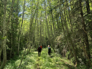
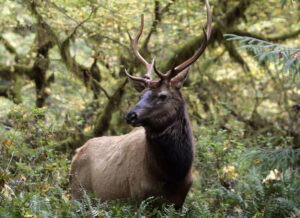
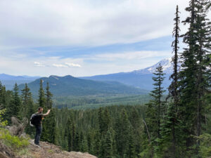
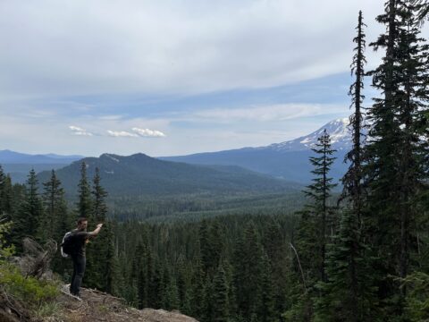
As our climate continues to warm, communities and wildlife are coming under increasing pressure.
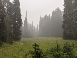
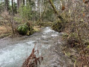
Last month’s atmospheric river unleashed a deluge of precipitation that swelled rivers and streams, leading to devastating flooding in many towns across western Washington. While southwest Washington escaped the scale of flooding seen farther north, the high flow event, combined with record-breaking fall and winter temperatures, will have impacts for wildlife and communities that could last years.
Climate Change, Atmospheric Rivers, Snowpack, and Salmon
December’s major precipitation event was the result of a weather system sometimes called the pineapple express, which is an atmospheric river made up of a mass of warm, moist air moving up from the tropics that deposits huge amounts of precipitation after hitting the cooler west coast.
The storm arrived during a period when conditions on the west coast were already unseasonably warm. Last fall was the warmest on record, and temperatures this winter have remained well above historic averages. As a result, the large amounts of precipitation that fell as rain melted much of the snowpack that had accumulated in the previous months, further swelling streams and raising the possibility of dry river channels in the summer months to come.
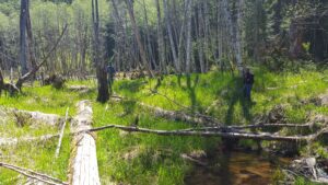
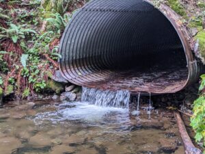
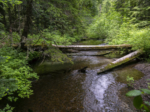
In streams and rivers that retain their wild characteristics, like side channels, deep pools, and functioning floodplains, destructive impacts from high flow events like these are minimized. However, many of our streams and rivers are channelized and degraded. In these systems, high flow events can scour streambeds, trigger landslides, increase erosion, and travel unimpeded to downstream communities. For salmon, this can be disastrous as eggs laid in redds (gravel nests) are either swept away or buried under sediment.
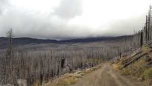
Atmospheric rivers and flooding are not new phenomena, but today, factors including climate change, aquatic habitat degradation, and past forestry practices, are making the damaging impacts of these kinds of events more severe. Our warming atmosphere can decrease snow packs and also cause higher flows from rain in spring and fall….
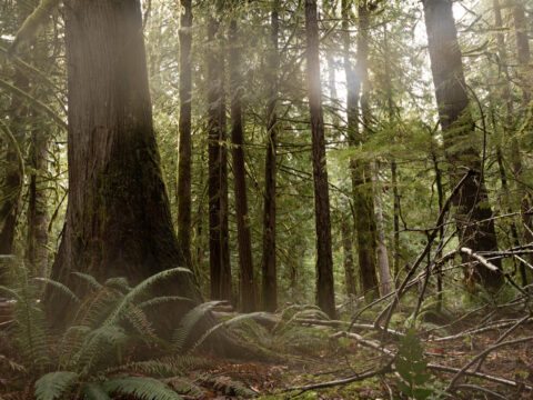
Deforestation has compromised the ability of many areas to act as sponges for excess precipitation, leading to more runoff, sedimentation, and erosion
However, protecting healthy forests and restoring degraded aquatic habitats can make a difference.
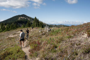
Creating More Resilient Aquatic Watersheds
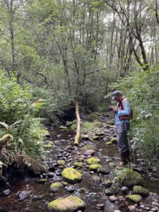
Cascade Forest Conservancy’s ongoing efforts restoring aquatic ecosystems makes these habitats, and the life they support, more resilient to these kinds of climate impacts.
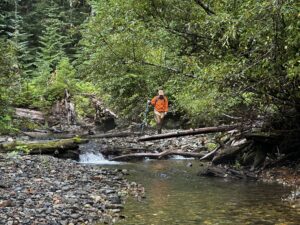
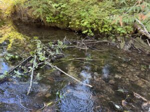
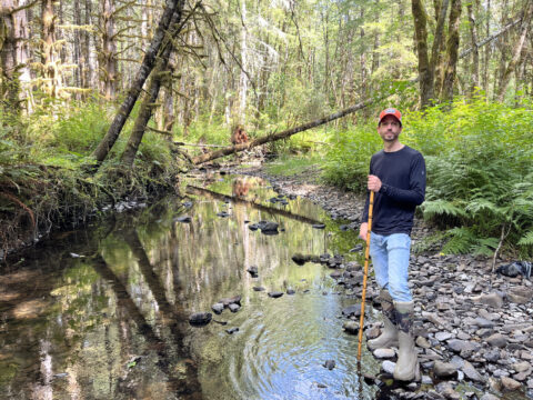
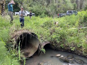
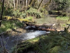
Instream restoration: Strategically adding wood structures to streams to mimic conditions found in healthy waterways leads to a cascade of positive impacts. Adding wood to streams can help re-engage side channels and flood plains, slow flows, retain water in dry summer months, create ideal fish habitat in the form of deep cool pools, and create habitat diversity to support high levels of biodiversity.
CFC designs and implements instream restoration projects ranging from hand-built structures in small tributaries to large-scale projects involving hundreds of large logs and heavy machinery.
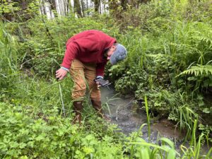
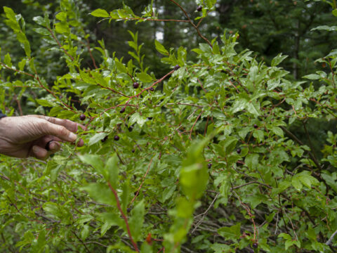
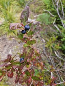
Riparian planting: In addition to our work in streams, CFC also works to improve riparian (stream side) habitats by planting trees along waterways. Healthy and biodiverse riparian forests serve several important functions that make aquatic habitats resilient to climate impacts. They prevent erosion and stabilize streambanks. They provide shade helping keep water temperatures cool during periods of high heat. And they provide forage for important species like beavers and insects.
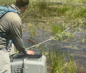
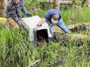
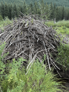
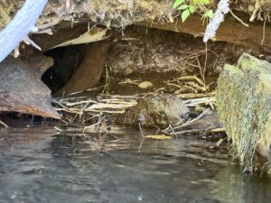
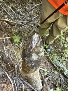
Beaver reintroduction: We’re experienced aquatic restoration practitioners, but we’re no match for the Cascades best aquatic habitat engineers. We’re talking, of course, about beavers. Beavers’ dam-building and channel-digging activities cause streams to slow down and expand. Aquatic ecosystems with beavers are more resilient to both high flow events and droughts, and surrounding forests are more resilient to wildfire.
CFC works to reintroduce beavers from locations where they are coming into conflict with human communities to carefully chosen areas in the forests where their habitat-improving activities are most needed. We also work to create “beaverhoods”—places where conditions are restored to be more suitable for nearby beavers to move in and take over management.