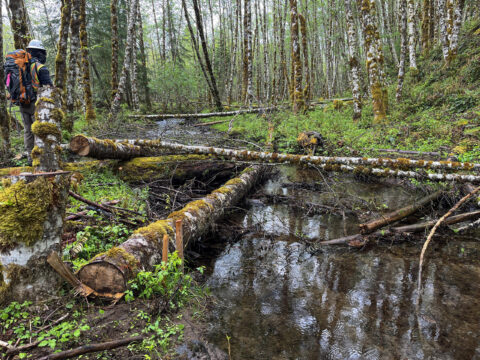
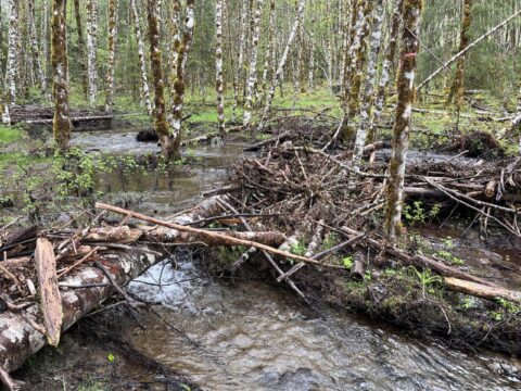
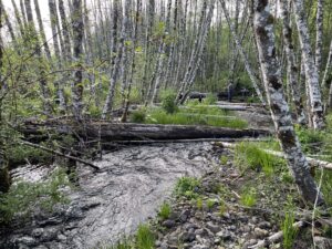
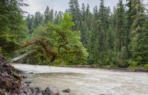
Parts of the Gifford Pinchot National Forest and other national forests possess something increasingly rare in the western United States: forests and river corridors largely free of invasive plants. These places are important refuges for native plant communities, including many rare and threatened species.
This is not something we should take for granted. As collaborators in the stewardship of this area, we feel a great sense of responsibility in doing what we can to help keep it this way.
More and more, we are seeing formerly healthy native plant communities in the national forest succumb to aggressive invasive species like scotch broom, herb Robert, bull thistle, and others. Cascade Forest Conservancy, often with the help of our science and stewardship volunteers, have worked throughout the years to remove invasive species from sensitive habitats and conduct field mapping to record new outbreaks of invasive plants to share with partners and work collaboratively to keep further expansion at bay.
These efforts are important, but the best way to protect our local native ecosystems is to prevent outbreaks of invasive plant species before they happen.
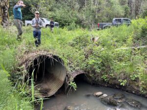
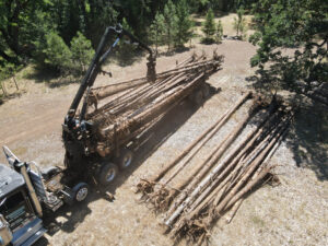
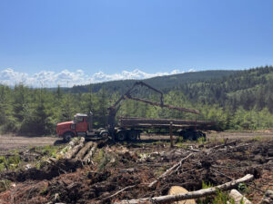
Roads are known pathways for these introductions, but an under-discussed and increasingly impactful vector for invasive species are the logging machines that wind their way into previously intact forest stands. Too often, this results in outbreaks of invasive plant infestations that will be in these areas for perpetuity.
Cascade Forest Conservancy is working to address this threat on multiple fronts.
In our role as watchdogs, we study and weigh in on the Forest Service’s plans for all timber sales and other management actions. We find that the introduction of invasive plants is often mentioned only in passing in Forest Service planning documents. While there are mitigation measures written into timber planning documents, such as stated requirements for equipment to be cleaned and checked for weed seeds, these protocols are insufficient to combat the scale of the problem or the seriousness of the threat to rare strongholds of local biodiversity.
Today, due to increased timber targets forced on land managers and a renewed rush to access new forest stands for logging, the integrity of native plant communities are at risk.
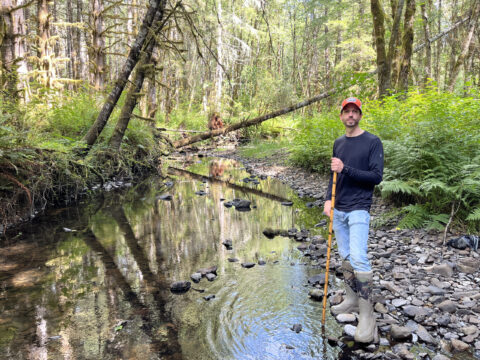
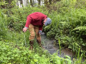
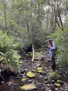
We continue to highlight these risks in formal comments on timber sales and in our conversations with Forest Service planners. More recently, we’ve launched an additional new effort to monitor recently logged forests for early signs of invasive plant establishment.
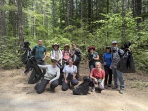
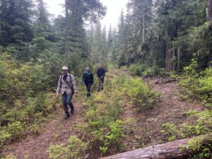
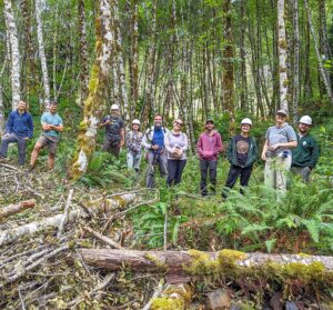
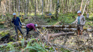
By detecting and treating infestations early, we aim to reduce long-term impacts and help protect these vulnerable ecosystems. We can sometimes treat these areas on the spot through hand-pulling; other times we share our findings with the Forest Service and the county weed treatment teams for more comprehensive treatment and, hopefully, continual monitoring. While this effort won’t stop all new infestations, it’s a meaningful step we can take, and one that we’re pursuing through volunteer trips that bring community members directly into these forests to assist with invasive plant surveys and control.
We continue to highlight these risks in formal comments on timber sales and in our conversations with Forest Service planners. More recently, we’ve launched an additional new effort to monitor recently logged forests for early signs of invasive plant establishment.
By detecting and treating infestations early, we aim to reduce long-term impacts and help protect these vulnerable ecosystems. We can sometimes treat these areas on the spot through hand-pulling; other times we share our findings with the Forest Service and the county weed treatment teams for more comprehensive treatment and, hopefully, continual monitoring. While this effort won’t stop all new infestations, it’s a meaningful step we can take, and one that we’re pursuing through volunteer trips that bring community members directly into these forests to assist with invasive plant surveys and control.


 Riparian Reserves
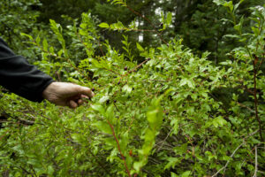 Adaptive Management Areas
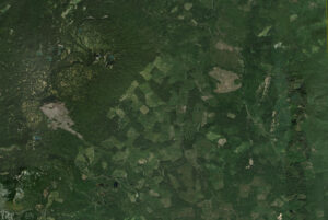 Matrix