In the last few weeks, certain online spaces have been flooded with inaccurate or misleading stories with alarming headlines claiming that the Trump Administration ordered the dismantling of the US Forest Service.
The US Forest Service is not being dismantled, but it is undergoing a massive reorganization.
What changes are part of the USFS reorganization?
- The agency’s headquarters is being moved from Washington, D.C., to Salt Lake City.
- The agency’s 9 regional offices, which oversee individual national forests and provide administrative and technical support, will be closed and replaced with 15 State Offices that will oversee forests in their state(s) and a national network of Operation Service Centers that will provide shared administrative and technical support.
- A majority (over 70%) of research and development facilities will be shuttered.
Although the agency isn’t going away, the reorganization does raise important questions—most critically: will this action strengthen or weaken the Forest Service, and how will our ability to ensure public lands are managed in the public interest be affected?
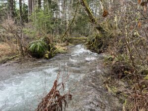
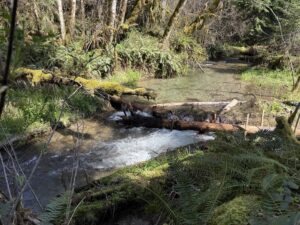
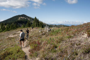
While it is too soon to say with certainty how all this will impact national forest lands in southwest Washington, Cascade Forest Conservancy (CFC) is concerned that many elements of this reorganization will be detrimental.
We agree with the overwhelming majority of comments submitted previously opposing the move. As noted in a US Department of Agriculture summary of public comments, there are broad concerns that relocating Forest Service staff “could compromise ecological management, public access, and employee morale.”
How might reorganizing the US Forest Service impact the southern Washington Cascades?
Agency Organization:
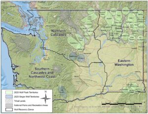
Prior to the reorganization, the US Forest Service, headquartered in D.C., created policy and provided broad direction to 9 regional offices. These regional offices, in turn, provided guidance and oversight, coordinated and monitored activities, and allocated budgets to individual national forests located within their region. Washington’s national forests were part of region 6, which also included national forest lands in Oregon.
Some observers have expressed concerns that experienced leadership within the agency will leave their posts or be replaced with political appointees, and that critical local knowledge and expertise will be lost.
At this time, that does not seem to be the case. It is unknown how many staff members will choose to leave the agency rather than relocate, but historically, the Forest Service has had a culture of staff moving around every few years. It is likely that we will not see as much “brain drain” as we did when BLM headquarters was moved west during the first Trump administration.
It also appears that, at least for now, trusted leaders who had served in our regional office, rather than new political appointees, will continue to serve our region in new state offices. We also know that our local Forest Service, those at the Forest and District levels, have not been impacted by the reorganization.
Several commentators have warned that replacing regional offices with state offices is a tactic to increase unsustainable extraction, but we have not yet seen evidence to support that claim. In Washington, at least, the new state office will be based in Olympia and the relevant state agency is the Department of Natural Resources (DNR). If the goal is to increase coordination with state agencies like the DNR to harvest unsustainably with less oversight and less environmental protection, that goal could backfire here in Washington. Our current Commissioner of Public Lands, Dave Upthegrove, has worked to increase conservation of important habitats and species on state lands and believes in robust public engagement. The Commissioner has also been quoted as saying, “We’re not going to partner with clear-cutting these forests.”
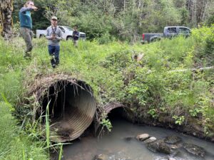
Impacts on Research:
Among all the changes under the reorganization, we are most concerned about the closure of over 70% of the agency’s research facilities. The Forest Service has not indicated which studies or programs, if any, will be cut, but moving researchers away from the ecosystems they study could set back the research and, frankly, does not make a ton of sense.
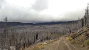
We are especially concerned about what may happen to current wildfire research, especially if critical studies are forced to discontinue or relocate from ecosystems that could be affected by the severe fire season now forecast for this year.
What does all of this mean then?
In short, it’s too early to determine how these changes will affect the agency’s ability to perform its duties and manage public lands. However, the potential loss of local researchers, leadership, knowledge, and relationships built with Tribal governments over the years could all harm land management efforts in our region.
These important issues deserve public awareness and input. However, alarmist language and exaggerated claims have instead caused confusion. Given this administration’s attempts to defund and weaken federal agencies, it’s understandable why some might fear the worst.
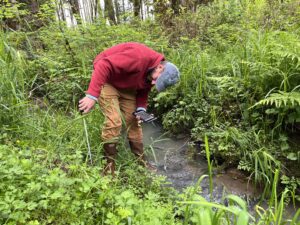
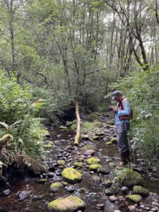
Understanding what happens on our public lands is crucial. That’s why we’re here: to monitor what affects our public lands. We will continue to track changes from this reorganization and provide updates as we push for ecologically sound policies, especially as the impacts of the reorganization become clearer in the coming months.