Looking for something new to read? CFC staff have compiled a list of some of our favorite books to help us all feel connected to the outdoors while we stay inside to fight the spread of the virus. Enjoy, and keep an eye out for part two of our list, coming soon.
MOLLY WHITNEY Executive Director
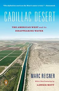
Cadillac Desert by Marc Reisner
A book that discusses water policy and management in the West, and how this management has largely led to the diminishment and detriment of our water. The book is a mix of research, reporting, and personal experience.
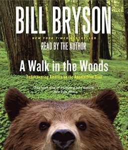 A Walk in the Woods
By Bill Bryson
Bryson’s book is sure to capture you and take you on the trail with him as he hikes the Appalachian Trail from Georgia to Maine. He narrates in a manner that lets you experience the journey with humor, wonder and knowledge.
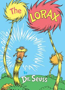 The Lorax
by Dr. Suess
Not all the great environmental reads are complex… Dr. Seuss captures some of the best messages and the plights of the environment through the eyes of the Lorax, a character who “speaks for the trees”. Perfect for children and adults alike, this read will remind you why CFC too “speaks for the trees” and how we all can make a difference toward protecting the places we love.
BRYN HARDING Communications Manager
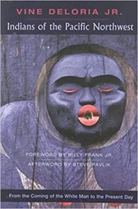 Indians of the Pacific Northwest: From the Coming of the White Man to the Present Day
by Vine Deloria Jr.
The best history out there dealing with the tribes indigenous to the NW. This book helped me better understand the stories of the people and places where I live.
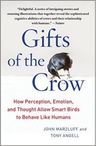 Gifts of the Crow: How Perception, Emotion, and Thought Allow Smart Birds to Behave like Humans
by John M. Marzluff and Tony Angell.
This book is a fascinating read that will make you appreciate and marvel at the wildlife closest to home in a whole new way.
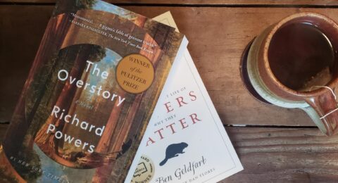
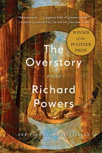 The Overstory: A Novel
by Richard Powers
This book is an incredible multigenerational tale of activism and resistance told in a totally unique way. It’s hard to describe exactly, but it’s wonderful. Ann Patchett called it “The best novel ever written about trees, and really just one of the best novels, period.”
MICHAL ORCZYK Development Manager
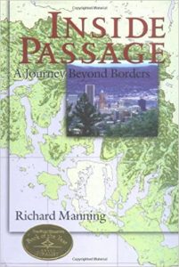 Inside Passage: A Journey Beyond Borders
by Richard Manning
Manning blends biography, history and science into stories about our connection to the natural world. It is very honest and bold, and you will learn some hard truths!
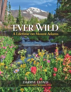 Ever Wild: A Lifetime on Mount Adams
by Darryl Lloyd
A really fascinating book about the history, exploration, and geology of a mountain most people don’t know much about. Darryl lived and worked most of his life at the foot of Mount Adams and he’s a long-time friend of CFC.
SHILOH HALSEY Director of Programs
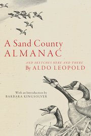 Sand County Almanac
by Aldo Leopold
A poetic and monumental conservation book published in the 1940s that eloquently describes the daily and cyclical habits of woodland forest species as well as the policies and approaches to saving threatened species throughout the country. Should be required reading for conservation folks!
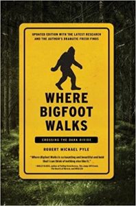 Where Bigfoot Walks: Crossing the Dark Divide
by Robert Michael Pyle
A book about a journey through the Gifford Pinchot National Forest. What else do I have to say?
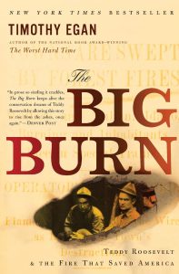 The Big Burn: Teddy Roosevelt and the Fire that Saved America
by Timothy Egan
A book about Teddy Roosevelt, Gifford Pinchot (the person), and their efforts to protect land in the West. It also talks about the great fire that started a cascade of environmental and logging actions in the early part of the 20th century.
AMANDA KEASBERRY Science and Stewardship Manager
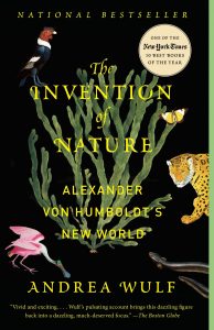 The Invention of Nature
by Andrea Wulf
Read this book to learn about one of the most adventurous and fascinating naturalists from the 18th century – Alexander von Humboldt. Humbolt was way before his time, and truly understood the interconnectedness of the world around him.
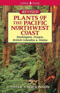 Plants of the Pacific Northwest Coast
by Jim Pojar and Andy MacKinnon
This is easily my favorite field guide for plants in the PNW. But it is more than just a plant ID book. The “Notes” section for each plant usually features interesting facts like how the plant was discovered, why it has a certain nickname, or how the plant was used among different cultures.
 The Poetic Inventory of Rocky Mountain National Park
edited by Charles Malone
I was on a road trip from Oregon to Alabama and we didn’t have time to stop and hike in the Rocky Mountain National Park, but we did stop at a local bookstore. I found this anthology of fiction, non-fiction and poems about RMNP. Each writer’s passion for the park really shined through. Being able to read this collection was second best to actually being there.
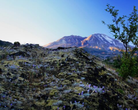
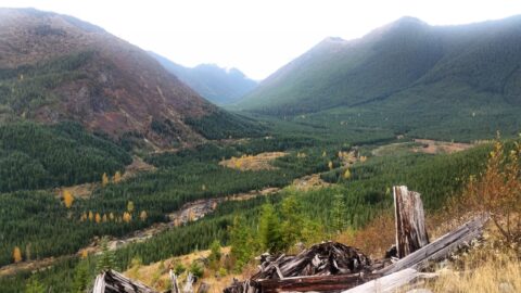
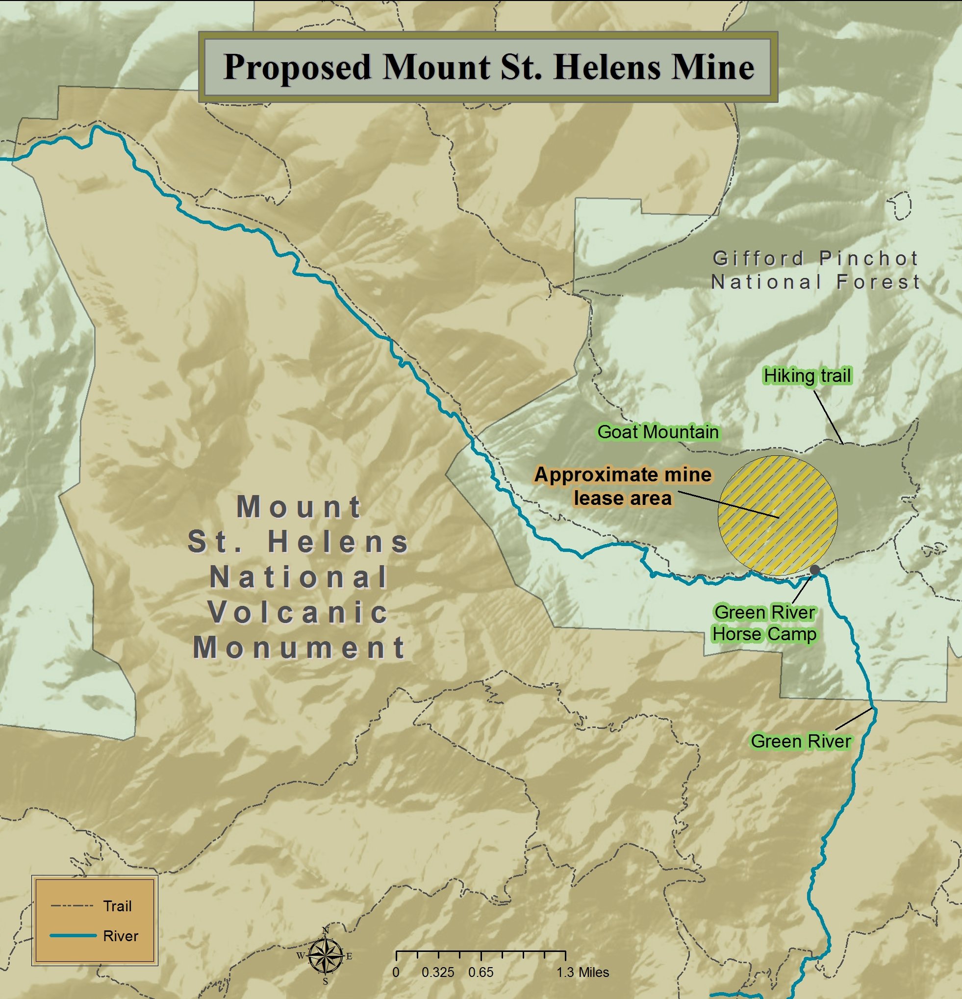
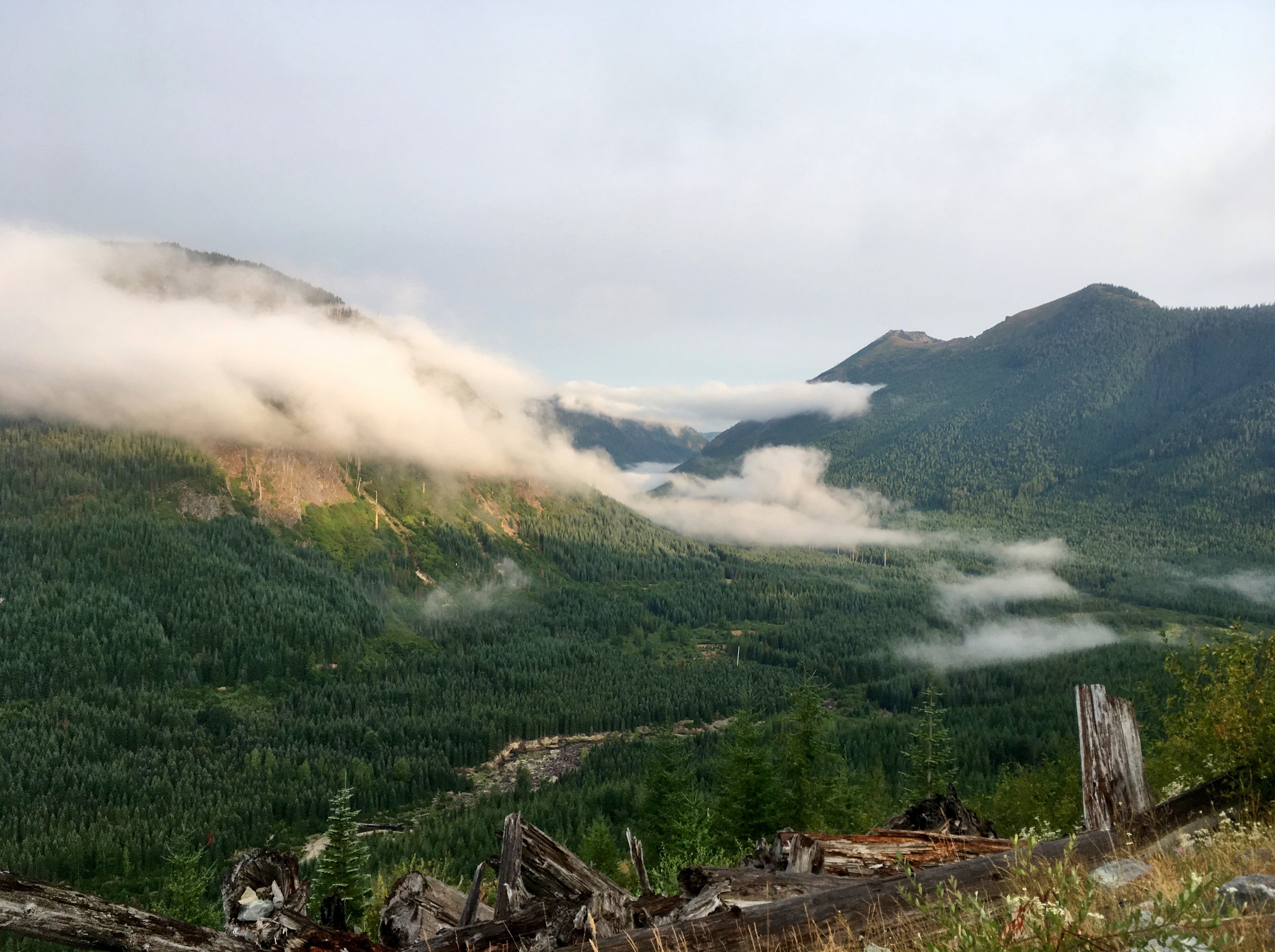
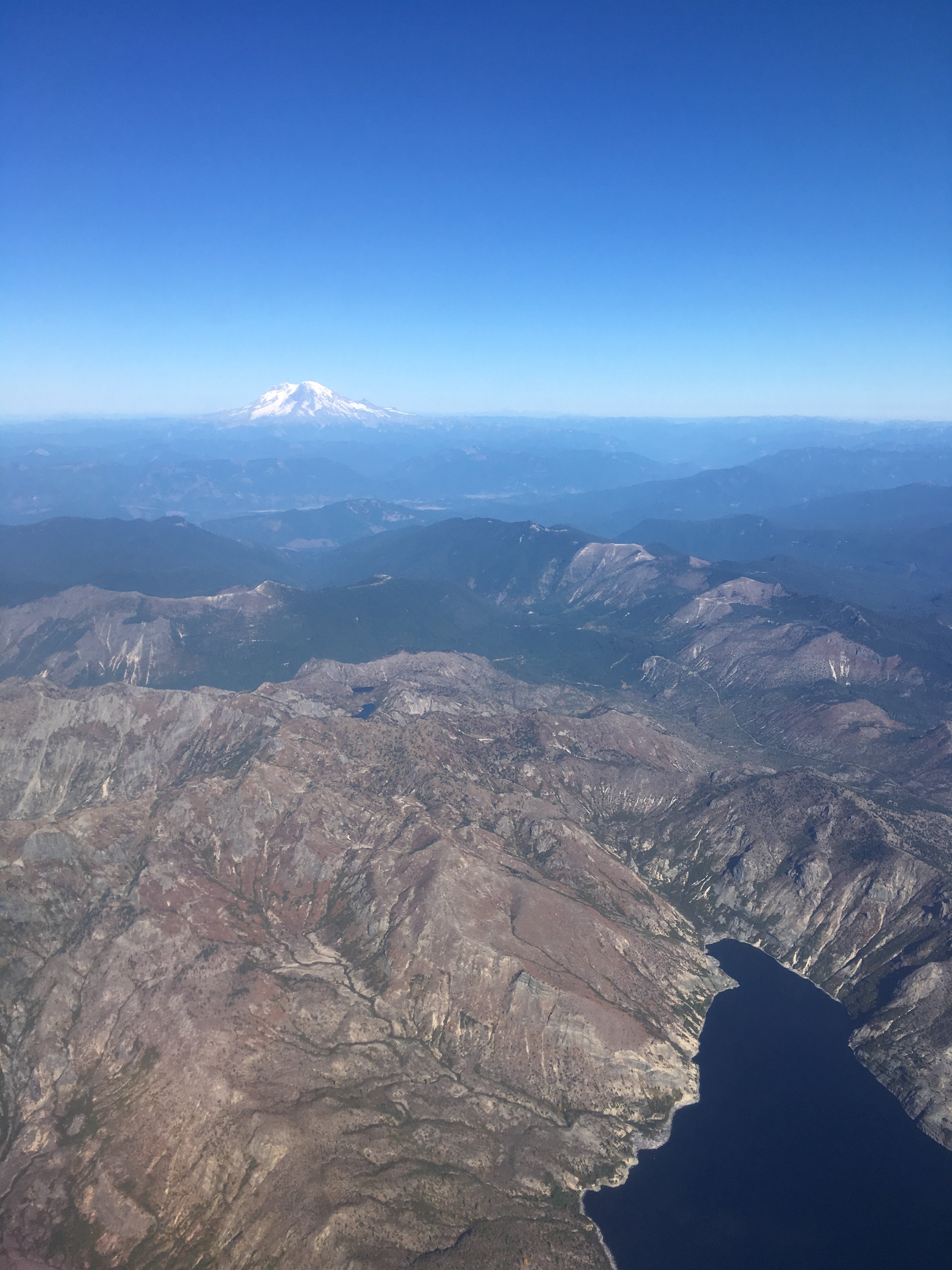
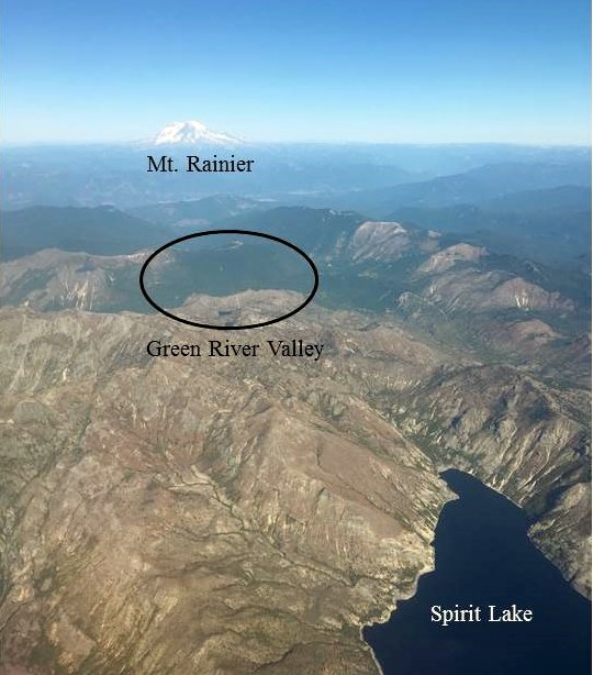
 The US Forest Service has put forward plans to build a road through the heart of this irreplaceable landscape. The proposed road is a threat to the area’s streams, rivers, and lakes. If built, this road will pass over five permanent streams and 10 seasonal streams which together represent five separate watersheds, wholly created after the 1980 eruption. Pristine newborn watersheds like these do not exist anywhere else on earth. The proposed road would lead to soil erosion and deliver harmful sediment into streams and, subsequently, into Spirit Lake. Worse still, each stream-crossing would likely wash out every season, requiring excavation and rebuilding. All this sediment will force aquatic insects and fish to move downstream, negatively impact water quality, and damage stream and lakebed habitats.
 Lucy spent two years in Philadelphia pursuing a master’s degree before making her way back west to attend Lewis & Clark Law School, where she received her J.D. in Environmental and Natural Resources Law. Before joining Cascade Forest Conservancy, Lucy worked as a law clerk for the Northwest Environmental Defense Center, and Earthrise Law Center.
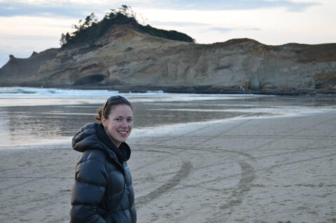
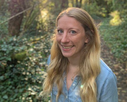
 Molly comes to Cascade Forest Conservancy with a diverse background in conservation and extensive experience in non-profit leadership, fundraising/development, and program management. Molly’s passion comes from a deep appreciation for Pacific Northwest landscapes and a desire to protect, sustain and restore ecosystems. She holds a bachelor’s degree in environmental science, with a focus in water, from Linfield College.

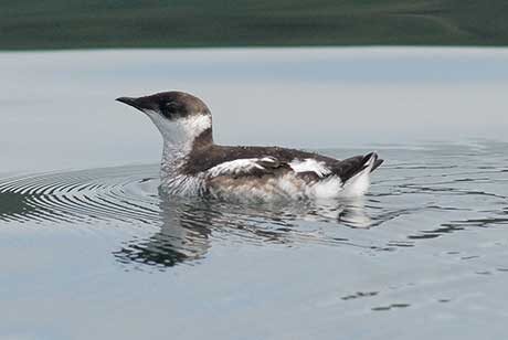
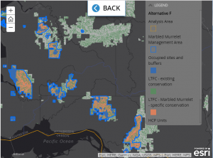
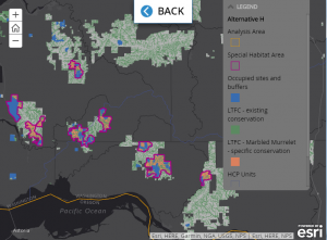
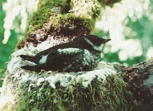 To provide suitable nesting habitat for marbled murrelets, trees need to have old growth characteristics such as large, mossy branches and other deformities that can be used as nesting platforms. Generally it takes forests at least 100 years to develop these characteristics. While raising chicks, murrelets must return to the sea nightly to forage for food, therefore mature forests must also be located within 55 miles of marine waters to be suitable as nesting habitat. This unique nesting behavior inescapably binds the fate of marbled murrelets with the fate of mature and old growth forests.
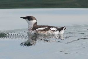